Aerial views have become an increasingly popular way to explore and appreciate the world around us. With advancements in technology, it has become easier than ever before to capture stunning aerial shots from drones and planes. These breathtaking views offer a unique perspective on our cities, landscapes, and even ourselves.
One of the most obvious benefits of aerial photography is the ability to see things from a completely new angle. Buildings that may seem small or unremarkable from ground level can appear massive when viewed from above. Patterns and shapes that we might not notice at street level become apparent when seen from high up in the sky.
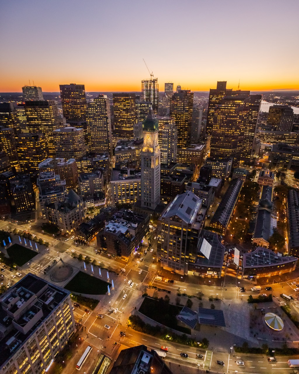
Aerial views are particularly useful for exploring urban environments. From above, we can see how cities are laid out – where streets intersect, how buildings are arranged, and where green spaces are located. This information can be incredibly valuable for city planners looking to design more efficient and livable urban areas.
Aerial photography also allows us to appreciate natural landscapes in a whole new way. Mountains, forests, deserts – all of these environments take on a different character when viewed from above. We can see how rivers wind through valleys or how glaciers carve their way across mountain ranges.
Of course, capturing aerial photographs requires specialized equipment and skills. Drones have made it easier for amateurs to take stunning aerial shots without needing access to helicopters or planes. However, there are still regulations surrounding drone use that must be followed in order to avoid interfering with other aircraft or endangering people on the ground.
Professional photographers who specialize in aerial photography often use planes or helicopters equipped with high-quality cameras designed specifically for this purpose. These professionals have years of experience knowing exactly what angles will produce the best images and navigating complex airspace rules.
While many people think of aerial photography as being primarily focused on landscapes or architecture, it can also be used for scientific purposes. For example, ecologists studying animal migration patterns might use drones to track herds from above without disturbing them. Geologists studying the earth’s surface might use aerial photography to track changes in terrain over time.
In addition, aerial views can have a profound impact on how we see ourselves and our place in the world. Seeing our cities or neighborhoods from above can give us a new appreciation for the scale of human activity and help us understand how interconnected we all are. Aerial shots of natural disasters, such as hurricanes or wildfires, can also be incredibly powerful reminders of the forces that shape our planet.
Overall, aerial views offer a unique and valuable perspective on our world. Whether used for artistic purposes, scientific research, or simply for exploration and appreciation, they allow us to see things in ways that would otherwise be impossible. As technology continues to improve, it will be exciting to see what kinds of images we will be able to capture in the future – and how they will change our understanding of ourselves and our planet.

Leave a comment